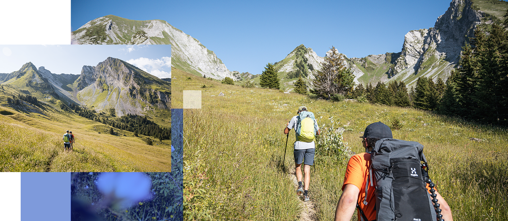
 © Sarah conte ses aventures
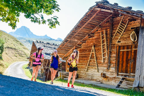 © David Machet
Hundreds of kilometres of footpaths criss-cross the Bauges, Bornes and Aravis mountains, inviting you to enjoy all sorts of hiking experiences. Enter the Bange or Diau caves, learn about the history of the Glières plateau, admire the waterfalls of Angon or Nant Debout, explore the Parmelan karren, sit on top of the Fauteuil de la Tournette or walk up to the Pointe Percée or the Mont Charvin. Between forests, rocks and mountain pastures, these hikes – and many others – explore a whole diversity of different terrain that will fill you with wonder!
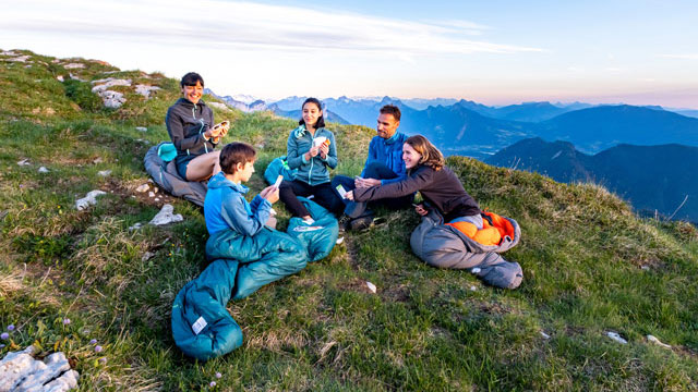 © Alain_Dujardin___photoslahaut.com
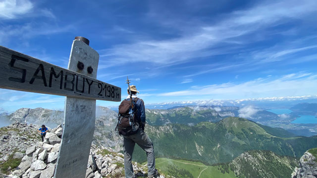 © Sources du Lac d'Annecy
The region is traversed by a number of long-distance hiking routes, including a section of the famous GR 96 trail which crosses the Glières plateau and takes you around the Aravis mountains in 4 days. Other loop itineraries – which by definition can be started at a number of different places – follow local long-distance (GR) trails: Tournette-Aravis (9 days), Tour du Val Sulens (5 days), Tour du Lac d’Annecy (5 days) and Tour de la Sambuy (3 days). All great ways to soak up the surrounding atmosphere and experience life at nature’s pace.
Walk through woods to reach the Mont Veyrier ridge to enjoy the beautiful views over Lake Annecy. The Danay circuit, mainly on forest trails and the Sulens ascent across mountain pastures lead to 360° panoramas of the Aravis range and neighbouring mountains. If you keep your eyes peeled on the Aiguille Verte trail, you might spot a bearded vulture and will enjoy a view stretching as far as Lake Geneva and the Mont Blanc!
For seasoned hikers, the Trou de la Mouche, Pointe Percée and Trou de la Chapelle trails are somewhat more challenging, with exposed sections, requiring a good level of physical fitness and a degree of mountain experience. But at the top you’ll be rewarded by the awe-inspiring beauty of these unusual summits. Don’t hesitate to call upon the services of a mountain guide!
To guide you during your outings, download the free “LAC ANNECY ARAVIS OUTDOOR” APP.
“Lac Annecy Aravis Outdoor” offers you a selection of natural activity sites and routes throughout the region. All “Lac Annecy Aravis Outdoor” data is accessible through the mobile app and the interactive route map.
With the free “Lac Annecy Aravis Outdoor” app, download hiking, trail running, and cycling routes. Charge your smartphone and let the GPS guide you.
Discover hiking and walking routes for all levels in the area between Lake Annecy and the Aravis mountains.
Family-friendly routes, more challenging trails… everyone will find an idea for an outing!