


Walking, running, cycling, skiing: there’s something for everyone when it comes to enjoying the great outdoors.


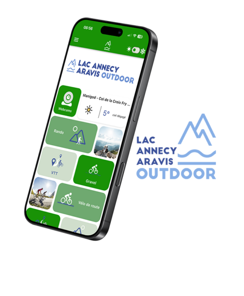
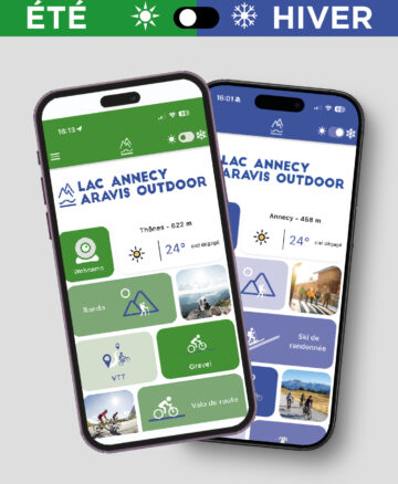
The ‘LAC ANNECY ARAVIS OUTDOOR’ app offers a selection of locations and routes for outdoor activities throughout the Annecy Mountains region.
With the summer version of the ‘LAC ANNECY ARAVIS OUTDOOR’ app, you can download hiking, trail running and cycling routes for all ability levels across the area between Lake Annecy and the Aravis mountains.
In the winter version, the focus is on ski touring, alpine and cross-country skiing, as well as walking routes.
From family-friendly trails to more challenging routes: there’s something for everyone! Charge your smartphone and let the GPS guide you.
You can download the “LAC ANNECY ARAVIS OUTDOOR” app for free on Ios and Android by scanning the QR code : or by clicking on the link below.

or by clicking on the link below :



The ‘LAC ANNECY ARAVIS OUTDOOR’ app features all the signposted and maintained routes starting from towns and villages: walking routes, trail running routes, mountain bike trails (cross-country, enduro, downhill),bike parks, cycle touring and competitive cycling routes, gravel routes and mountain passes to conquer.
The mountains are a place of enjoyment to be shared and respected. The region boasts a precious and well-preserved natural environment, with 6 Natura 2000 sites and 2 national nature reserves. It forms part of the Massif des Bauges Regional Nature Park, designated a UNESCO Global Geopark.
Recommendations for each activity are provided to encourage shared and environmentally responsible use of the area amongst the various activities (sporting, pastoral and forestry).
Specific information is provided on trail access, hunting areas, the location of herds and guard dogs, and biodiversity.
A range of features will make it easier for you to enjoy your outdoor activities:
• A summer and winter interface to discover all the activities available in the area
• On-site webcams and weather updates
• 2D and 3D route visualisation
• Real-time geolocation along routes
• Route-tracking alerts to warn you if you stray from the route
• Emergency module: trigger a call or send an emergency text message in the event of a problem
• Share comments and experiences
• Option to submit a report (Suricate) : in the event of an incident (missing signpost, tree blocking the path, landslide, conflict of use, etc.)
Once the app is installed, you’ll be able to download your routes and the associated maps for offline use.
Would you like to promote the new app on your website, social media or to your customers?
Here are some marketing materials that you can use free of charge and as you wish.